| Current Conditions: Hwy 80 at Bryte Bend | |||
| Timestamp: | Historical Data | Detailed Graphs | Station List |
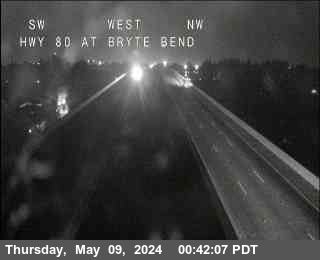
| Nearest CCTV (0.0 mi SE) |
 |
| Location | |
| Near | Sacramento |
| Longitude | -121.54475° |
| Latitude | 38.60300° |
| Elevation | 19 ft |
| Direction | |
| County | Sacramento |
| Route | I-80 |
| Milepost | 84.29 |
| Surface Sensors | |
| Sensor # | 1 |
| Surface Status | |
| Surface Temperature | |
| Pavement Temperature | |
| Surface Water Depth | |
| Surface Salinity | |
| Surface Freeze Point | |
| Surface Black Ice Signal | |
| Temperature | |
| Air | |
| Wet Bulb | |
| Dewpoint | |
| 24-hr Max | |
| 24-hr Min | |
| Avg | |
| Spot | Max |
| Precipitation | |
| Y/N | |
| Situation | |
| Rate | |
| 1 hr | |
| 3 hr | |
| 6 hr | |
| 12 hr | |
| 24 hr | |
| Start | |
| End | |
| Visibility | Visibility |
| Visibility Situation | |
| Other | |
| Relative Humidity | |
| Atmospheric Pressure | |
Graphical Summary for
|
Air Temperature
|
Loading...
|
|
Dewpoint
|
Loading...
|
|
Relative Humidity
|
Loading...
|
|
Average Wind
|
Loading...
|
|
Wind Gust
|
Loading...
|
|
One-Hour Precipitation
|
Loading...
|
|
Precipitation Situation
|
Loading...
|
|
Surface Temperature 1
|
Loading...
|
|
Surface Status 1
|
Loading...
|