| Current Conditions: Hwy 80 at Truckee Scales | |||
| Timestamp: 02/05/2025 09:43 AM | Historical Data | Detailed Graphs | Station List |
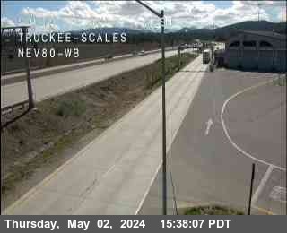
| Nearest CCTV (0.0 mi E) |
 |
| Location | |
| Near | Truckee |
| Longitude | -120.13009° |
| Latitude | 39.36223° |
| Elevation | 5826 ft |
| Direction | |
| County | Nevada |
| Route | I-80 |
| Milepost | 189.86 |
| Surface Sensors | |
| Sensor # | 1 |
| Surface Status | ERROR |
| Surface Temperature | x |
| Pavement Temperature | |
| Surface Water Depth | |
| Surface Salinity | 15506.00 pp100k |
| Surface Freeze Point | x |
| Surface Black Ice Signal | Detector Error |
| Temperature | |
| Air | 30.02 °F |
| Wet Bulb | x |
| Dewpoint | 6.98 °F |
| 24-hr Max | 44.06 °F |
| 24-hr Min | 32.36 °F |
| Avg | 3.58 mph from N |
| Spot | 0 mph from W | Max | 9.4 mph |
| Precipitation | |
| Y/N | No |
| Situation | No Precipitation |
| Rate | 0.000 in/hr |
| 1 hr | 0.000 in |
| 3 hr | 0.000 in |
| 6 hr | 0.000 in |
| 12 hr | 0.209 in |
| 24 hr | 1.150 in |
| Start | 02/04/2025 03:34 PM |
| End | 02/04/2025 03:36 PM |
| Visibility | Visibility | 0.780 mi |
| Visibility Situation | Unknown |
| Other | |
| Relative Humidity | 37% |
| Atmospheric Pressure | x |
Graphical Summary for
02/05/2025
12:00 AM through 09:43 AM
|
Air Temperature
|
Loading...
|
|
Dewpoint
|
Loading...
|
|
Relative Humidity
|
Loading...
|
|
Average Wind
|
Loading...
|
|
Wind Gust
|
Loading...
|
|
One-Hour Precipitation
|
Loading...
|
|
Precipitation Situation
|
Loading...
|
|
Surface Temperature 1
|
Loading...
|
|
Surface Status 1
|
Loading...
|